South Devon’s estuaries are a defining feature of the South Devon National Landscape and very much tied up with the geography and history of climate and weather that have carved and formed each. South Devon’s estuaries are all rias or drowned river valleys – following the narrow valleys of the rivers that formed them, characteristically long relative to their width, sinuous and deep.
Over a history of Ice Ages, high volumes of waters collected from their elevated catchments to form the energetic rivers that variously carved out the deep V-shaped river channels that we enjoy today on their way to the coast of the time and down to a sea-level believed to have been up to 120m below the present level. At the time, the coast was in places 100s of metres further out than it is today!
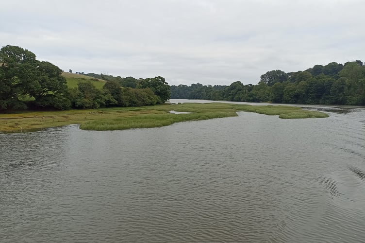
As the ice caps melted, releasing huge amounts of water, the river valleys were gradually drowned beneath the sea as it rose. The upper tidal portion of each river valley, where it mixed with the continuing freshwater flow of the river, becoming an estuary. Estuaries are really defined as inland areas of water where the freshwater from its rainwater catchment area meets and mixes with the tidal and salty waters of the ocean.
The prehistoric river valleys now under the sea are now mostly further hidden by layers of sediment that has washed down and deposited from the land, together with the natural organic detritus of land and sea. This organic detritus will have included the natural ‘litter’ of dead leaves, plants and animals from the land and similarly that of seaweeds and animals of the sea but also including a slow ‘snowfall’ of plankton too – just as continues across all our waters today.
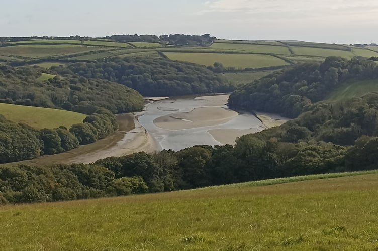
There have also been periods of geological time when the sea level was higher and the coast further in than today – there examples of wave-cut platforms locally between Prawle Point and Start Point. During these same periods, our estuaries would have been higher up their river (and stream) valleys too.
It is the geography of each estuary’s position and aspect, and the added hydrodynamics of their local topography that very much dictates each estuary’s uniqueness. And more recently, the further and very significant cumulative impacts of our own uses, developments and management of our estuaries, together with that of their water catchment areas and local coast.
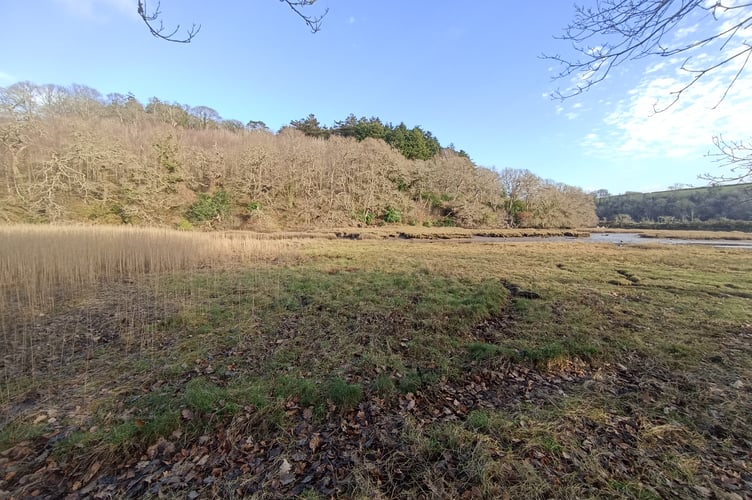
Within each estuary, it is the meeting and mixing of the fresh and salt waters that drives much of the ecology of an estuary, and with the rise and fall of the tides, this occurs up and down each estuary driving the tidal migrations and behaviours of their wildlife. The fish-eating birds that follow the migration of fish on each rising tide to the hunkering down of shore crabs into the mudflats as the tides leave them otherwise exposed.
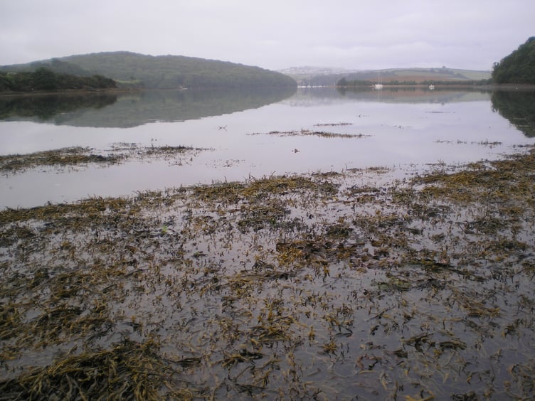
Our estuaries commonly widen as their rivers and streams enter the estuary proper, and their slowing flows lose their energy releasing their load of carried sediments, and then their meeting with the saltwater cause the further settlement of even the finest and lightest sediments through the natural phenomena of ‘flocculation’. This all resulting in the characteristic deep and organically nutrient rich mudflats - often metres deep and a globally important vault of trapped carbon (so called ‘Blue Carbon’) which continues to be added to.
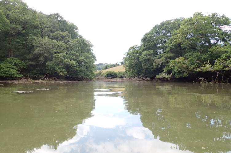
Common to all estuaries, the extremes of tidal exposure of their intertidal shores to the weather of the day and the ever-changing salinity with the tides, make those tidally affected parts of an estuary a very challenging environment for most organisms to live. Thus, these areas of any estuary support a surprisingly
low diversity of species. However, the naturally high input of nutrients from their water catchments (leaf litter, wildlife waste, etc.) support a very highly productive ecosystem so that the few species that are able to survive these challenging conditions, are able to thrive in truly astronomical population numbers and support a very much higher diversity of species beyond the estuary itself. Unfortunately, many of our estuaries suffer the consequence of yet more nutrients from our own households and gardens, farms and industry, that overload this natural balance and many estuaries are impoverished by the impacts of eutrophication; such as the green blankets of seaweeds that do stifle and suffocate the normal ecology of the mudflats of the Salcombe-Kingsbridge Estuary in particular.
Other typical characteristics of our ria-type estuaries include:
- areas of rocky and low cliff shoreline that may extend to the estuary bed,
- long and narrow upper-shoreline saltmarshes – rarely with any real depth except where historically ‘reclaimed’ shores and creeks for extra land have been allowed or accidentally to reflood tidally,
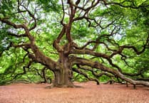
- frequently tree-lined shores of at least semi-ancient oak dominated woodland with branches that overhang and shade the banks, with their lower leaves and twigs effectively pruned by the salt of the highest spring tides - giving an almost unnaturally perfect horizontal ‘trim’ to the leaves of these trees,
- a few may have supported areas of dwarf seagrass historically but now only found within the shores of the Salcombe-Kingsbridge Estuary,
- a consequence of the sinuosity of their geological formation and their terrestrial topography, does mean that there is no one viewpoint on any of our estuaries where their whole waterscape can be viewed from. This adds to their precious sense and feeling of tranquillity, seclusion and apparent remoteness that needs careful and sensitive management to retain for all our futures.

Comments
This article has no comments yet. Be the first to leave a comment.